250.858.7754
island_keeper@hotmail.com
FLOATOGRAPHY360
For the Onshore Perspective
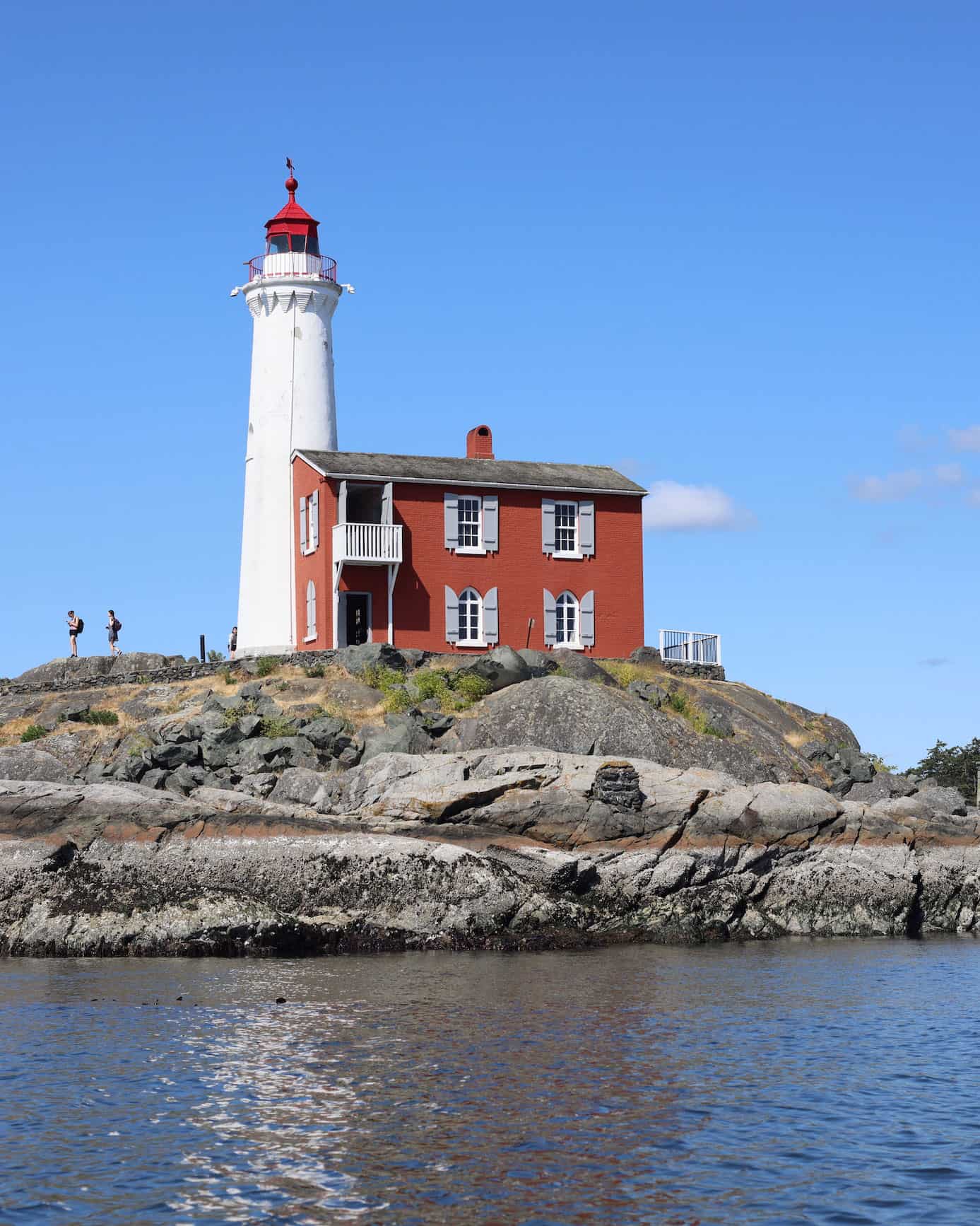
Floatography360 captures the shoreline and environment using 8K 360 video and high-resolution imagery.
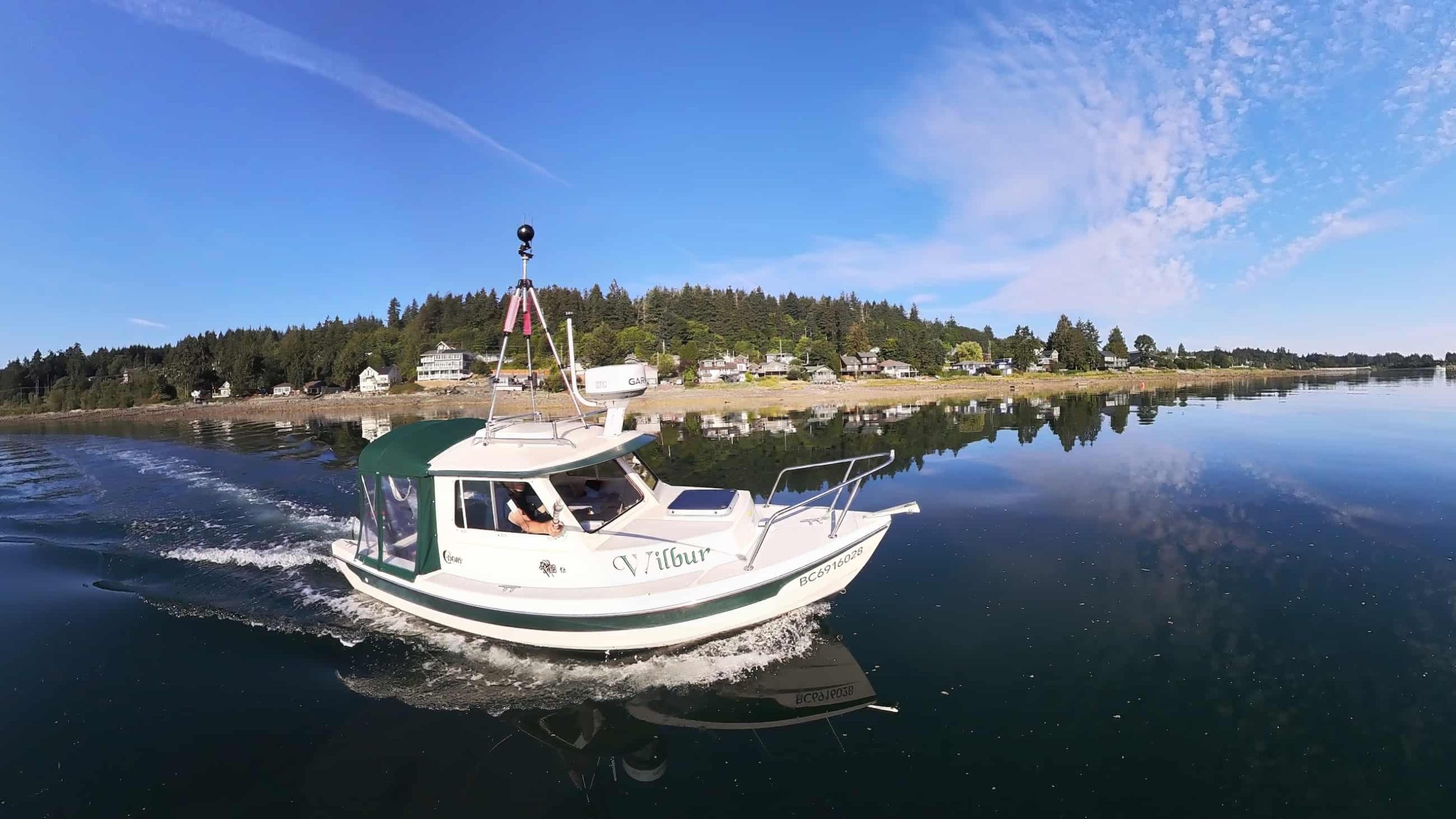
Using the vessel named Wilbur, the 16′ C-Dory, this shoreline view is captured from a unique cost-effective and versatile floating platform.

HI-RES SHORELINE PHOTOGRAPHY AND 360 VIDEO
Documenting the Shoreline
Just as Google Streetview captures our roadways, Floatography360 is capturing the shorelines and coastal waters.
Using a Insta360 Pro2 360 degree camera mounted on top of Wilbur, and a Canon R5 shooting from inside, hi-resolution imagery of the shoreline is captured.
Mapillary.com is the best online platform for sharing both the still and 360 images.
Currently the east coast of Vancouver Island is being captured.
Check out the results here.
